Trip Date: August 2013
I drive by the
Cochrane Ranche Historic Site twice each week; once on Monday morning on my way out to work and again Thursday afternoon when I'm on my way back home. I'd never stopped in to see it in person, but I was dogsitting in August for a co-worker who lives in
Cochrane and took that opportunity to go and see it for myself. I'd also heard a rumour that there was a single pictograph located somewhere on the land owned by the Cochrane Ranche and wanted to see if I could find it.
The Cochrane Ranche is located approximately 40km northwest of
Calgary along Highway 1A in the town of Cochrane. The ranch was established in 1881. An informative sign near the parking area gives this background about the site.
This is the site of one of the most adventurous cattle ranching experiments undertaken in the 1880's. Senator Matthew Cochrane, an Eastern cattle baron, anticipated success as the 100,000 acres of lush prairie grasses and countless creeks and rivers made for ideal conditions. In 1881, 6,800 exhausted cattle arrived here from Montana after a rushed drive.
Disaster followed as the first two winters proved to be unusually harsh. The Chinook Winds did not bring the expected relief lasting only long enough to partially melt the snow which froze again forming a hard crust over the range. Two thousand head of cattle starved to death unable to get to the grass lying just inches below their hooves.
Through mismanagement and unforeseen bitter climatic conditions the site as a cattle ranch was short lived. In 1884 the remaining cattle were moved to the Waterton Lake area and the ranche was stocked with sheep. This venture was also plagued with misfortune and by 1889 most of the ranche's holdings were sold off.
On May 21, 1979 the Cochrane Ranche Historic Site was officially opened with the unveiling of the Men of Vision Statue.
 |
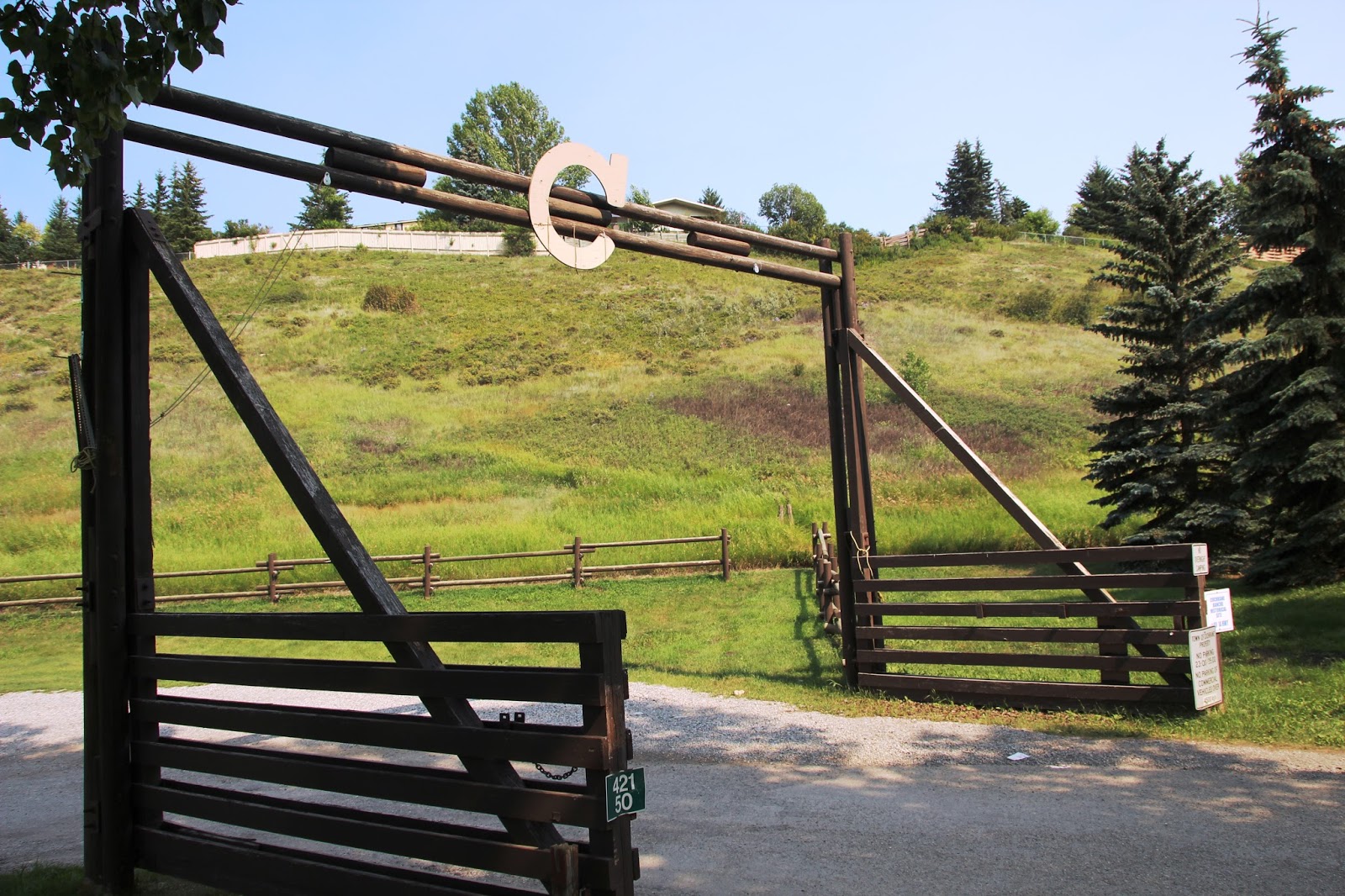
| Entrance to the Cochrane Ranche |
 |
| A large "C" adorns the gate |
The Westerson Cabin was built in the mid 1920's and was first used as a tourist stop for those travelling between Calgary and Banff and was known as "The Tourist's Rest". In 1931 the tourist business wasn't as profitable as hoped and the building was sold. It then became a Union Oil Service Station, which later expanded into a trucking and shipping business. In 1942 the cabin was sold to Carl Westerson. The Westerson family made their home in the building for 36 years until the deaths of Carl and his wife in 1978 at which time their children donated the cabin to the Town of Cochrane. In 1984 the cabin was moved closer to the centre of town and was then used as a Tourist Information Centre and a small museum. In 1998 the cabin was moved to its present location at the Cochrane Ranche Historic Site.
 |
| The Westerson Cabin is now the Cochrane Ranche's information centre |
 |
| I hiked Stockman's Trail through the ranche site. This is the corral. |
 |
| Big Hill Creek flows through the ranche |
 |
| Another look at the corral |
 |
| Former site of the Bunkhouse. The Manager's House was immediately to the left, but nothing remains there. |
 |
| Looking up towards the Men of Vision statue |
Malcolm J. MacKenzie's 1978 Men of Vision statue was commissioned by Alberta Culture for the Cochrane Ranche Historic Site. It was to commemorate the working cowboy of early ranching days and was unveiled May 21, 1979.
"Men of vision guard the trust, this land so much desired to whom much is given the more will be required. God gave stout hearts to the pioneers, their legacy to you, change and progress, hand in hand, twas thus Alberta grew."
Ray Bagley
Alberta Pioneer
 |
| Men of Vision |
 |
| The Cochrane RancheHouse also sits on the ranch site. The RancheHouse is home to a multi-purpose conference centre, the Cochrane administration offices, the Mayor and Council offices, Council Chambers, recreation programs, and the Stockmen's Memorial Foundation. |
With a little help I was able to find the site of the lone pictograph located at the Cochrane Ranche. I was also pleasantly surprised to find out that directly beside the pictograph was also a single petroglyph, or rock engraving, that I did not know was there!
 |
| This petroglyph depicts the sun |
 |
| Although difficult to see, this pictograph is of a shield-bearing warrior |
You can read more about the pictograph and petroglyph sites I have visited by visiting my Western Canadian Rock Art section on the Bradshaw Foundation's webpage.


Hi, wonderful pics. Where roughly are those glyphs? I have heard they were there but even to Town Admin was unaware when I asked.
ReplyDeleteThanks! They're pretty tricky to find actually. It took quite a lot of digging for me to uncover them and it's not easy to describe where they are. They are pretty close to the RancheHouse parking area, behind some bushes. Sorry I can't be anymore help.
Delete