Trip Date: April 2016
King Creek is a picturesque canyon in
Peter Lougheed Provincial Park that is popular with ice climbers. The trailhead is the
King Creek Day-Use Area, which is on the east side of Kananaskis Trail (Highway 40), immediately across from Kananaskis Lakes Trail. The trailhead is approximately 125km southwest of downtown
Calgary.
 |
| The mountains were shrouded in clouds |
I had never hiked up this canyon before, but it seemed to be a popular early-season spot so I thought I'd give it a try. There were only two other vehicles parked at the trailhead when I arrived, but a lot more had shown up by the time I got back. The canyon features steep walls and a babbling brook, while evidence of the 2013 floods was present throughout. You have to cross the creek several times as you work your way through the canyon. Staying dry was important to me because the ambient temperature was quite chilly and I didn't want to hike back to the truck with wet feet. I chose my footing very carefully and managed to stay warm and dry throughout the day. Unfortunately I cannot say the same about Rome, who was more than happy to splash her way through the creek instead of rock-hopping like me!
 |
| The mouth of King Creek Canyon as viewed from King Creek Day-Use Area |
 |
| Pre-hike selfie! |
 |
| The canyon starts out quite wide and slowly narrows as you progress |
 |
| Steep walls and flood debris |
I am unsure exactly how far I hiked up the canyon, but I reached a pinch-point after about 45 minutes of leisurely hiking and wasn't willing to get my feet wet in order to continue. There were a couple of frozen waterfalls just prior to the end of my hike and a pair of ice climbers were preparing to scale one of them. It was a gorgeous spot to stop, relax, and watch the action unfold.
 |
| An ice climber ascending a frozen waterfall |
 |
| Beautiful canyon scenery |
 |
| Rome begging me to go a little further, but it wouldn't happen today! |
Route finding is easy in the canyon, as there is really only one direction to go, but finding solid footing and navigating the creek crossings can be a bit challenging if you want to stay dry. The trail disappears in places, probably washed out during the flooding, but nothing was impassable, at least as far as I made it. As I did this hike in early April there was still lots of snow and ice along the trail, which added to the adventure. Because it was slowly melting I was always a little concerned that I might break through at some point and end up with wet feet; thankfully that never happened! This would be a great family-friendly outing for those with kids, especially when all of the snow has melted.
 |
| The clouds tried opening up as I began descending back to the truck |
 |
| Avalanche slope |
 |
| Heading back to the trailhead |
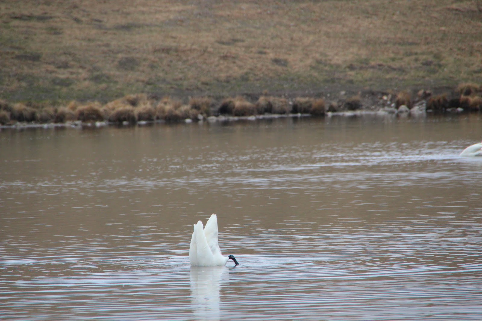
On the way back to Calgary I stopped at one of the small lakes immediately east of Scott Lake Hill to photograph the migrating swans. Each year the swans migrate north for the summer months and stop at these small lakes and ponds around Calgary during their long journey. They don't stick around too long, so you have to take advantage of the short window of opportunity while you can.
 |
| Trumpeter Swan |
 |
| Diving for an easy meal |
 |
| Another Trumpeter Swan floating on the lake |


Cool! I always drive by that canyon, but have never checked it out. Do you know approximately how far it was to the falls?
ReplyDeleteTough call Karen, but it couldn't have been more than a couple of kilometers. I was only hiking for about 45 minutes before I reached the falls. Just past the falls there's a pinch-point in the canyon that was my turnaround point. You can go further but I would have had to get my feet soaking wet as there was no way around the flowing water. I might need to get back there in the spring/summer when it's warmer out and exploring further up the canyon.
Delete